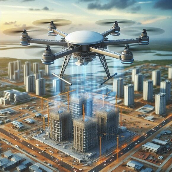
Uses of Drones in Construction and Infrastructure
Drones have become a critical tool in construction and infrastructure, improving efficiency, safety and accuracy.
🚁Main uses of Drones in Construction include🚁
Topographic Surveys and Mapping:
– Aerial Surveys: Creation of 2D and 3D maps with accurate ground data.
– Topographic Mapping: Locating challenges such as slopes and drainage problems.
Progress Monitoring:
– Regular Monitoring: Record progress through aerial imagery and video.
– Compare Changes: Track changes to the project over time of time.
Inspection and Quality Control:
– Structural Inspections: Examining hard-to-reach areas for detection defects.
– Thermal Imaging: Locating insulation problems and leaks heat.
Security and Risk Management:
– Hazard Identification: Identifying hazardous situations on the construction site.
– Dealing with Emergencies: Assessing situations in accidents or natural disasters.
Accounting and Resource Management:
– Inventory Monitoring: Control of materials and equipment.
– Site Planning: Optimization of the site layout.
Environmental Impact Assessments:
– Monitoring of Environmental Changes: Examination of vegetation and bodies of water.
– Erosion and Flood Risk Management: Risk assessment and taking preventive measures.
Marketing and Stakeholder Engagement:
– Aerial Photography and Videography: Creating a commercial material.
– Virtual Tours: Explore construction sites remotely.
3D Modeling and BIM Integration:
– 3D Models: Create site models for improvement design.
– Digital Twins: Virtual copies for project simulation and analysis
Have questions?
