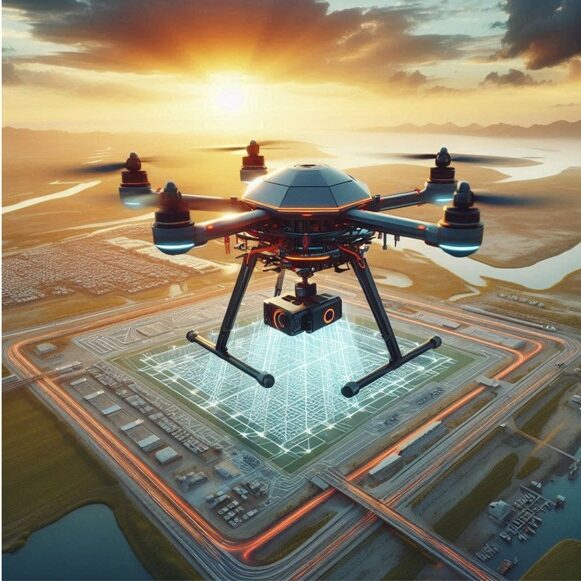
Uses of Drones for 3D Modeling and Mapping
Drones have revolutionized 3D modeling and mapping, offering accurate and cost-effective data faster than traditional methods. They are used in fields such as construction, real estate, urban planning, agriculture and environmental management.
Aerial photo:
– High Resolution Images: Capture overlay images of the ground or constructions.
– LiDAR sensors: Using laser pulses for detailed 3D models.
– Multispectral and Thermal Imaging: Integration of additional data such as vegetation health and thermal signatures.
Edit and Create 3D Models:
– Photogrammetry: Creating 3D models from processed images.
– Point Cloud Creation: Use LiDAR data for 3D construction models.
– Orthomosaic Maps: Creation of accurate georeferenced maps.
Integration with GIS and BIM:
– GIS: Integration of 3D models into geographic systems for analysis and design.
– BIM: Use of 3D models to improve design and collaboration in constructions.
Applications
– Construction and Infrastructure: Surveys, progress monitoring, and infrastructure planning.
– Urban Planning: City modeling, infrastructure assessment.
– Real Estate: Real Estate Visualization and Land Development.
– Agriculture: Field mapping, erosion and soil analysis.
Have questions?