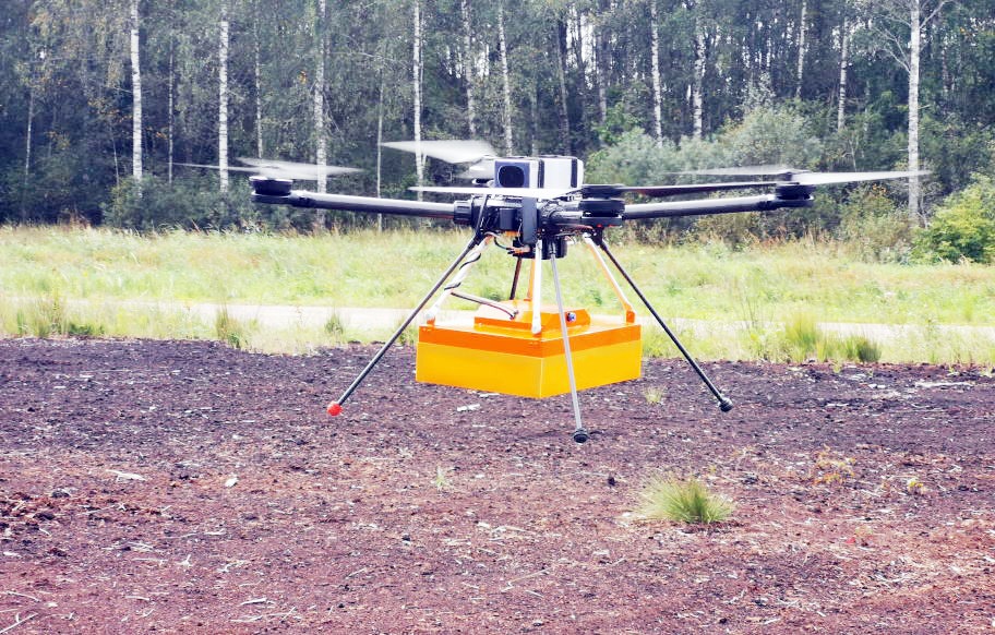
Drone Services with Ground Penetrating Radar (GPR)
In depth detection studies, Ground Penetrating Radar (GPR), VDR provides services but also manufactures custom made drones according to the needs in sectors such as
construction, archaeology, environmental mapping and utilities.
Main Applications of GPR Drone Services
Drones carrying GPR depth probes use electromagnetic waves to create detailed underground maps and 3D models and can
- Underground Mapping and Imaging: They locate buried objects and geological features.
- Field Survey and Analysis: They examine large areas for underground anomalies such as pipes and buried objects, allowing for accurate planning and reduction risks in construction and archeology projects.
- Infrastructure Detection and Control: Locate and map underground infrastructure, such as pipes and cables, preventing accidents during excavation or drilling.
- Underground damage fixes: More accurate damage detection for the target repair operation and by extension a significant cost reduction.
- Environmental and Geological Surveys: Used for its evaluation soil composition, groundwater detection and monitoring environmental changes.
- Archaeological Exploration: They allow non-invasive archaeological detection spaces, locating structures and objects without disturbing the ground.
- Custom Solutions and Data Integration: They provide custom solutions depending on the needs of the project, while GPR data can combined with other technologies such as LiDAR.
Benefits of GPR Drone Services
- Speed and Accessibility: Drones cover large areas quickly and
in remote locations.
- Non-Invasive Exploration: Allows underground analysis without disturbing it
ground.
- Increased Data Accuracy: They offer accurate underground maps and models.
- Cost-Effectiveness: They reduce manual tasks and risks damages, offering cost-effective solutions.
- Safety and Efficiency: Reduce the need for human labor in dangerous areas, speeding up the data collection process.
